Gallery · The End of the Golden Age · Room 3 of 9
The Haven
Curator's note
The period charts of this place do survive. Three of them are at The National Archives as CO 700/BAHAMAS 2, 3 and 4: a Seller and Price chart of about 1700, a Thornton chart of about 1700, and a 1725/1726 draught of the fort's outworks. I haven't got them up here yet, and when I do they'll be the main exhibit. For now Herman Moll's printed map of 1732 stands in below, with a schematic I've drawn of the thing that mattered most, the shape of the harbour.
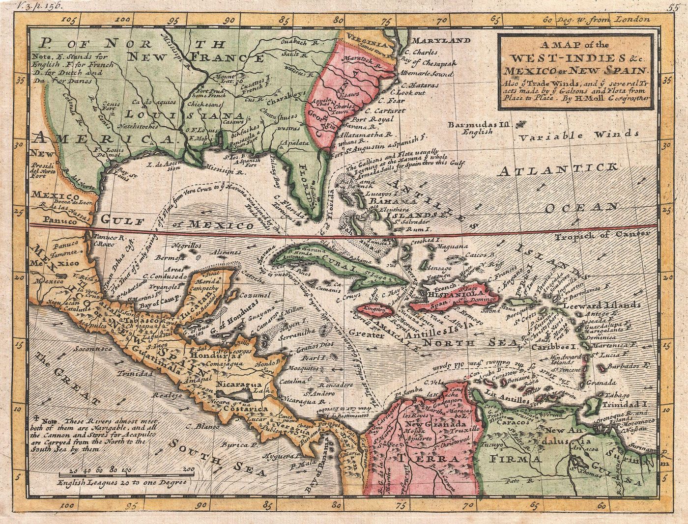
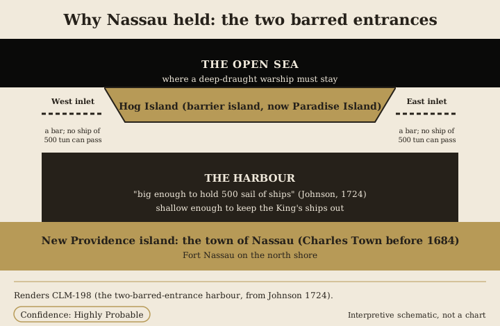
- New Providence island lies along the south, with the town of Nassau and Fort Nassau on its north shore.
- Hog Island, the barrier island, lies across the harbour to the north.
- Between them the harbour is "big enough to hold 500 Sail of Ships".
- At each end of Hog Island an inlet opens to the open sea, and each inlet is crossed by a bar over which "no Ship of 500 Tun can pass".
- A large but shallow fleet could use the harbour; a deep-draught King's ship could not. The schematic is an interpretation, carried at Highly Probable, not a traced chart.
This is the capital the governor came to break, and the geography is why it existed. The town's own period sailing description is carried by Johnson in 1724.
"Harbour big enough to hold 500 Sail of Ships; before which lies a small Island, which makes two Inlets to the Harbour; at either Way there is a Bar, over which no Ship of 500 Tun can pass."
The place has to be named carefully, because the island and the town are two things. The island is New Providence; the haven is the town on its north shore, called Charles Town before a Franco-Spanish raid destroyed it in 1684, and Nassau from its rebuilding in 1695, when it was renamed for William III of the House of Orange-Nassau. Island and town are kept distinct throughout this Collection.
What the pirates made there has to be named just as carefully. The fixed phrase "Republic of Pirates" is a modern coinage, popularised in 2007, and no pirate used it. But the period record does carry republican language: Johnson calls the pirates a "Commonwealth" and reports the New Providence men debating whether to stand and treat with the government "upon the Foot of a Commonwealth". Outsiders called Nassau a "nest of pirates" and a "Colony of Rogues"; the men themselves used "Flying Gang". The room prefers the period words and flags the modern one as modern.
The Nassau place gallery holds the fuller identity, the founding, the forts and the map census. What this room adds is the harbour read as the hinge of the whole suppression: the one geographic fact that made mercy necessary before force could work, because force could not simply sail in. The honest limitation is that the schematic is exactly that, a schematic; when the CO 700 charts are shown, they, and not this drawing, become the room's real exhibit.